Britain’s 10 best scenic spots for runners
Roula Khalaf, Editor of the FT, selects her favourite stories in this weekly newsletter.
What better way to enjoy a run than in breathtaking British countryside, traversing its long-distance footpaths and National Trails? We’ve rounded up the best scenic spots to put you through your paces.
North Downs Way
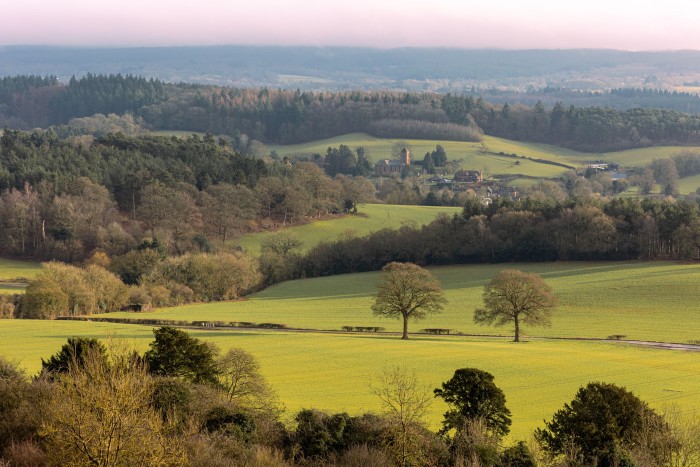
Starting in Farnham, this National Trail heads 153 miles eastwards along the Surrey Hills and Kent Downs, finishing at Dover. There are many brilliant sections, but if you’re London-based, get the train to Guildford (about 45 minutes) and pick up the trail there. It takes you across 20 miles of stunning scenery with wonderful vistas, including a lung-burning ascent up Box Hill, and ending at Reigate Hill. From here, you can easily get to Reigate train station and be back in London 45 minutes later. nationaltrail.co.uk
The Pembrokeshire Coast Path
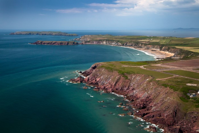
Hugging 186 miles of Wales’ south-west coast, you’re spoilt for choice for runs on this route once you leave behind the industrial port of Milford Haven. One highlight is a 10.5-mile section starting in Dale, from where you’ll be treated to stunning bays such as Marloes Sands (featured in Hollywood movies), an Iron Age hill fort and views of Skomer Island, home to puffins and other rare seabirds. If you’ve still got the energy, the next 14-mile section to Nolton Haven will not disappoint – and you’ll have ticked off a trail marathon too. visitpembrokeshire.com
Pennine Way National Trail
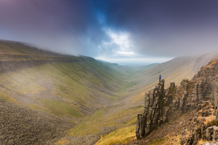
Taking in three National Parks, this epic 268-mile trail is the oldest in the country – but the section between Middleton-in-Teesdale to Dufton in Cumbria is the most spectacularly scenic. You’ll pass by three waterfalls, cross a suspension bridge that opened in 1830 and take in the jaw-dropping High Cup valley – a natural U-shaped chasm carved deep into the landscape. It’s a run you’ll never forget. nationaltrail.co.uk
South West Coast Path
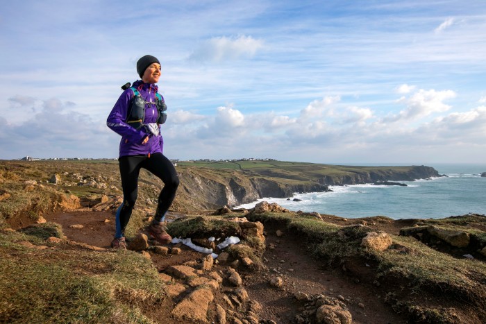
At 630 miles, the UK’s longest National Trail is a near-limitless playground for running. Undulating over hills and through valleys, the 78-mile stretch from Westward Ho! to Padstow is a particular highlight. It might be one of the toughest sections, but the scenery is truly rewarding. And what better place to complete your physical endeavour than in the culinary hotspot of Padstow, where you’ll have earned a hearty meal: whether it’s fish and chips on the quay or fine dining at one of the five Michelin-starred restaurants. southwestcoastpath.org.uk
Ridgeway National Trail
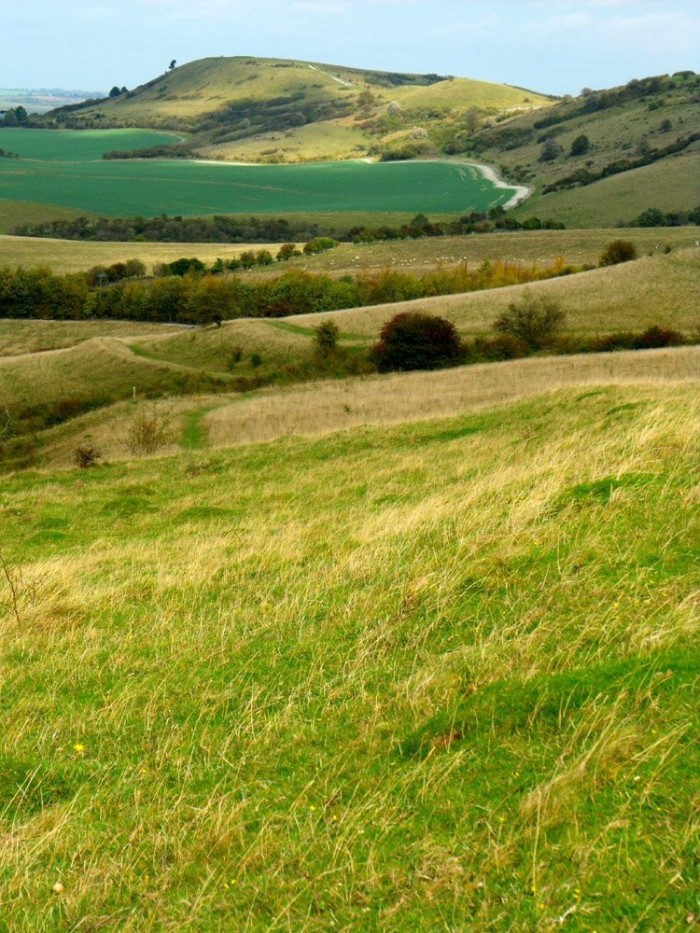
The 87-mile Ridgeway National Trail is known as Britain’s oldest road, dating back 5,000 years, and for half of its length runs diagonally along the Chiltern Hills, from the World Heritage Site of Avebury in Wiltshire to Buckinghamshire. There is a lovely 10-mile circular route with 310m of climbing that starts in the village of Aldbury (a short walk from Tring train station, just 40 minutes from central London) and takes in the dramatic viewpoint of Ivinghoe Beacon, which is also the finish point of the trail. nationaltrail.co.uk, chilternsaonb.org
The Dales Way
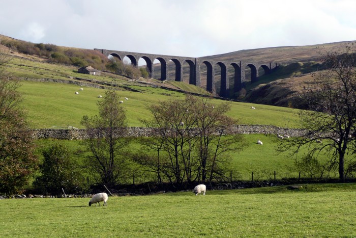
Starting in Ilkley, West Yorkshire, this 80-mile footpath takes you through the sublime Yorkshire Dales National Park, with rivers, dry stone walls and glorious scenery a constant backdrop. Passing through the quaint Yorkshire town of Grassington and the village of Kettlewell – ideal places to base yourself for circular routes or stop for tea – it finishes at Windermere for some richly deserved Kendal Mint Cake. dalesway.org
Jurassic Coast
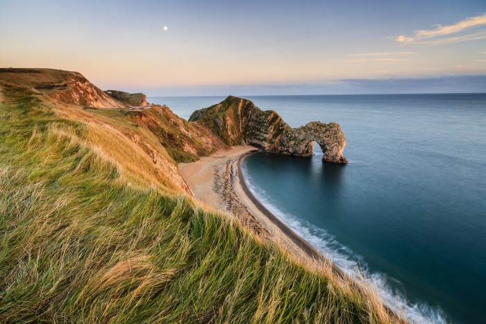
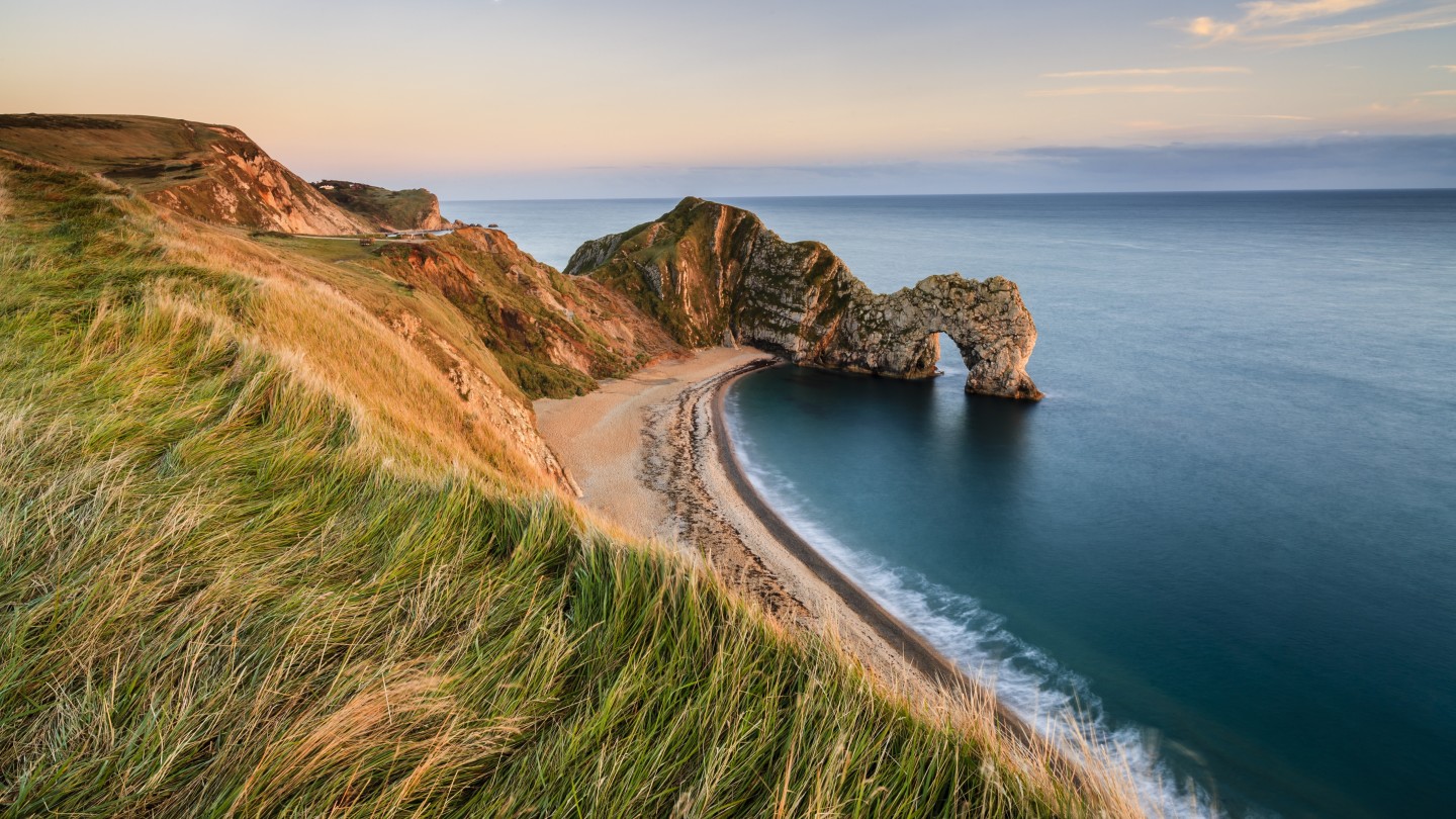
Winding its way along a designated Unesco World Heritage Site, this path begins in Exmouth, Devon, and stretches 95 miles to Old Harry Rocks in Dorset. There's a good circular 17-mile run here that starts and finishes in the Dorset seaside town of Swanage and takes in a long stretch of coastal path before heading inland through the villages of Worth Matravers and Kingston (both, incidentally, with great pubs). It goes on to the historic Corfe Castle, with a final stretch along Ridgeway and its amazing vistas before dropping back into Swanage. It includes around 700m of climbing, so it’s nicely challenging, and the loop is easily shortened or lengthened if you wish. jurassiccoast.org
Thames Path
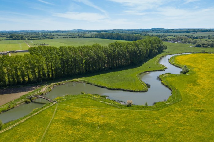
Banish any thoughts of high-rise buildings, pelican crossings and traffic – the Thames Path begins in the rural Cotswolds and follows the river 184 miles all the way to the Thames Barrier. The small town of Lechlade (situated between Oxford and Cirencester) marks the start of a particularly rural 16-mile section to Newbridge, near Oxford. Passing through meadows and farmland, you’ll hardly see another person or building, and Newbridge has a couple of pubs to quench your thirst too. nationaltrail.co.uk
Two Moors Way
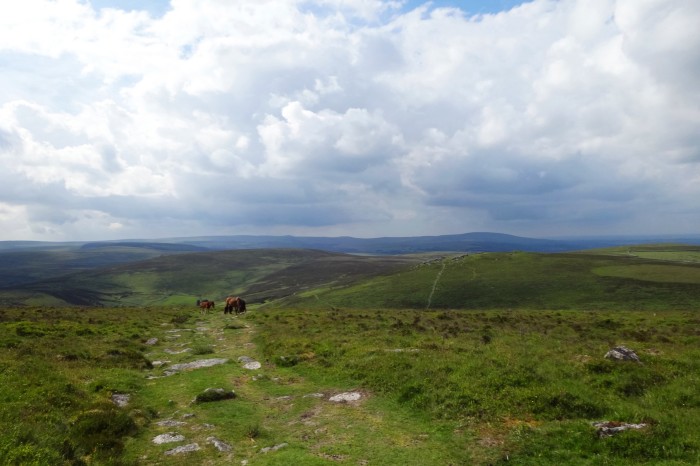
This 117-mile, coast-to-coast path runs across Devon and offers a chance to see a real variety of Britain’s beautiful inland countryside: from the wooded river valleys of Exmoor National Park in the north, past the hedgerows of mid-Devon, to the heathland and granite tors of Dartmoor in the south. If you’re looking for a testing route that gets you away from civilisation, an especially remote section from Ivybridge to Holne will take you across 13.5 miles of wild moorland. The path then continues on for another 20 miles in more comfortable surroundings that pass through villages, if you want to cover the National Park in its entirety. twomoorsway.org
Lairig Ghru, Cairngorms National Park
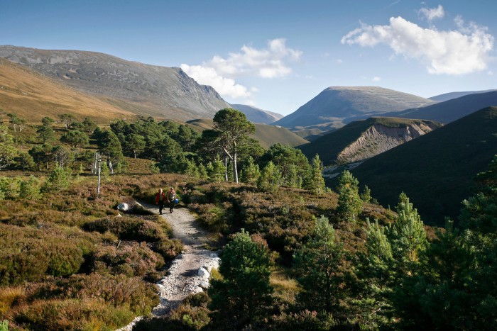
Britain’s largest National Park, the Cairngorms is a truly wild expanse with many Munros over 1,000m, and an impressive array of wildlife such as the wildcat and capercaillie. A challenging yet hugely rewarding route is the Lairig Ghru mountain pass, which starts at Coylumbridge and takes in 19 miles, with 810m of ascent over wild terrain. You’ll walk through a trench carved by a glacier and pass along alongside Britain’s second tallest mountain, Ben Macdui. cairngorms.co.uk/discover-explore

Comments