The new era of stronger hurricanes: bigger storms, better forecasts

Roula Khalaf, Editor of the FT, selects her favourite stories in this weekly newsletter.
By the time Lieutenant Colonel Sean Cross realised he was in trouble, it was too late to turn back. Cross’s plane slammed into the wall of Hurricane Michael, a violent Category 5 hurricane that in October 2018 was barrelling towards the coast of Florida.
As the plane tried desperately to propel itself forward through the chaos, an extreme wind picked up the left wing of the aircraft. It flipped 90 degrees, wrenching the passengers sideways. The nose dived towards the ground. The engine began to stall as the autopilot system shut down.
For 15 long seconds, the plane was tossed around and battered by the sheer power of the storm. Alarms wailed warning signals at the crew, and boxes and equipment smashed around the cabin.
Eventually Cross, a veteran US air force pilot, regained control and steered the plane to safety. But the episode would stay in his mind as a close call.
“We got beat up pretty bad on that one,” recounts Cross, who has flown in the 53rd Weather Reconnaissance Squadron of the US air force, the so-called hurricane hunters, for almost two decades. “It was not a fun day in the office”.
As part of a squadron of 10 planes with 100 flying crew members and 1,300 staff in total, Cross is part of a team that is routinely dispatched by the National Hurricane Center in Miami to scope out any potentially dangerous storms brewing at sea.
Sending planes into storms to gather information first began in the second world war, and the squadron remains an integral part of the US hurricane monitoring strategy. The unit is the only one of its kind in the world, and covers an area stretching from Hawaii to the Caribbean.
As the planes make multiple passes through the storm walls, information about the air pressure inside the hurricane is gathered, along with temperatures, wind speeds and humidity.
All of the data is beamed straight back to Miami via satellites, where it’s fed into modelling systems to help forecasters track where the hurricane might go next, and how bad things might get.
The hurricane hunters were in action again this week, as Hurricane Ian bore down on Florida. Their data fed into the work of meteorologists and forecasters from the NHC, part of the US’s National Weather Service, who updated the public every day on where they thought the Category 4 storm might go next, how fast it was travelling and how powerful it might become.
Briefing reporters on Wednesday morning, NWS director Ken Graham said the statistics around Hurricane Ian were changing so rapidly that he had brought his phone to the briefing podium to make sure he could deliver the most up-to-the-minute information.
The US government, said Graham, was “throwing everything” at Ian as it fought to track it, including satellites, radars and the hurricane hunters. All of the extra data was plumbed straight into the weather service’s forecasting models, said Graham.
Ian’s path proved especially difficult to predict; in the week before it made landfall, its projected track fluctuated by hundreds of miles. Forecasters used a so-called cone of uncertainty to illustrate to the public the wide range of areas that could be affected.
But its intensity was clear. The federal forecasters predicted storm surges of 12ft to 18ft up and down the shorelines of western Florida, and more than 2ft of rainfall. The state placed over 2.5mn people living in coastal communities under mandatory evacuation orders, likely saving many lives.
The projections of Ian’s track and intensity reflect decades of research and investment from US scientists, who have vastly raised the quality of their forecasting as satellites and computing power have improved.
Eric Blake, the acting chief of the NHC’s hurricane specialist unit, says mistakes in track forecasts have decreased 70 per cent since 2000, while errors in forecasts about how intense a storm will be are between 40 and 45 per cent lower than they were in 2010.
Blake says big improvements in the resolution of images captured by satellites, the speed at which they are transmitted to earth and the increasing sophistication of numerical models run by computers have all enhanced the quality of forecasts.
“It’s not just down to one thing, the amount of tech improvements over the last 30 years is very, very vast,” says Blake.
But as the technology has changed, so has the nature of the storms themselves. According to meteorologists at Nasa, a warming earth is producing major storms with more intense rainfall and larger storm surges.
In the US, whose southeastern and eastern coasts bear the brunt of the hurricanes that form in the Atlantic Ocean, authorities are now investing billions of dollars in new technology that will not only help them to better predict these storms but also design coastal defences robust enough to cope with their magnitude.
Supercomputing the storm
Tropical cyclones, or hurricanes, generally need a combination of warm ocean water, high levels of moisture in the air and low variation between wind speeds at different levels of the atmosphere when measured on a vertical plane. Warming air temperatures mean more moisture is held in the air, producing more rainfall, and Nasa has also recorded increasing wind intensity linked to climate change.
Crucially, these storms gather strength more quickly. Hurricane Dorian, which levelled parts of the Bahamas in 2019, suddenly intensified into a Category 5 storm over two days after initially being forecast to be a tropical storm. Hurricane Maria, which devastated Puerto Rico in 2017, also caught scientists by surprise when it escalated into a Category 5 storm in just 24 hours.
In the US that same year, it was Hurricane Harvey that served as a bellwether for an era of more devastating storms. Though its wind speeds fell short of records, it was the most significant hurricane rainfall event since records began in the 1880s. Parts of Texas were hammered by over 5ft of rain, and the NWS later described the scope of the storm as “truly overwhelming, literally and figuratively”.

The 2017 hurricane season was “supercharged” by warmer ocean temperatures, according to a study led by scientists at the National Center for Atmospheric Research in Colorado. The study linked the ocean temperature drop during Hurricane Harvey with the subsequent rainfall. “Harvey could not have produced so much rain without human-induced climate change,” it concluded.
Harvey was exceptional, but major storms in general are becoming far more frequent. In 2020, for example, the state of Louisiana was hit by the most named storms in any single season on record, followed by the third-highest number of named storms per season in 2021. (Storms are named when wind speeds reach at least 39 miles per hour, and become hurricanes when winds reach 74 miles per hour).
Of the top six seasons, as measured by the number of named storms, five have fallen in the 2000s. “The last few years have been insane, to say the least”, says Barry Keim, a climatologist and hurricane expert from Baton Rouge, Louisiana. “I spent many years being very sceptical of climate change, but you can’t deny the data,” he says. “I mean, the data are giving us all these signals.”
The data are also helping scientists prepare for more significant storm events. In 2019, scientists from the US and South Korea used statistics on tropical cyclones over the western Pacific between 2004 and 2016 to propose a new algorithm they said would improve the prediction accuracy of intensification over a 24 hour period.
In 2020, the National Oceanic and Atmospheric Administration, part of the US government’s Commerce Department, and home of the National Weather Service, used the rainfall data for Harvey to test how well its regional hurricane model was able to forecast both the location and amount of precipitation.
The US government is now investing millions of dollars in boosting its computing power for climate and weather-related events. Earlier this year, NOAA announced it would triple its supercomputing capacity, spending half a billion dollars on two 12-petaflop General Dynamics systems.
Government climatologists and meteorologists are in the process of coding a new forecasting model for hurricanes, which will be tested this year and is slated to come into operation at the start of the 2023 hurricane season.

Brian Gross, director of NOAA’s Environmental Modeling Center, says the new supercomputers would enable scientists to access higher resolution images of earth’s atmosphere and the oceans. This would give them a more detailed view on smaller patterns and trends emerging in storms being watched, as well as powering the simulation of more complex storm models.
“We can add different processes, like snow forming in the top of thunderheads, and how that snow melts in the rain as it falls through the atmosphere,” says Gross. “We have more complex algorithms that require more supercomputing.”
Gross says that with those extra details, he is confident that from 2023, scientists will be even better able to monitor and predict where the worst hurricanes will strike, in turn helping people move out of harm’s way. “I think we’re going to do better,” says Gross.
Turning back the tides
A warming earth with more frequent intense hurricanes has sent cities and states scrambling to find ways to mitigate the potential damage — especially the devastating combination of record rainfall and flooding from storm surges.
A key element is building better flood defences in coastal regions. After Hurricane Katrina destroyed large parts of the city of New Orleans in 2005, the US Army Corps of Engineers, the body tasked with government-sponsored civil engineering projects in the US, began the process of rebuilding the levees that had been overwhelmed by the storm surge.
By modelling the trajectory and intensity of historic hurricanes to calculate the maximum storm surge, the engineers determined that the earthen and concrete levees built around the city should be between 10 feet and 32 feet in height, depending on where they were located. They are combined with some of the largest drainage pumps in the world.
New Orleans’ location several feet below sea level presents special challenges to those trying to protect it from hurricane-related flooding. “They say that in New Orleans, if you wash your car, that water you used has to be pumped out of the city,” says Ricky Boyett of the New Orleans US Army Corps of Engineers.

Boyett says relative sea level rises are balanced against the ongoing subsidence of the city to calculate a height that engineers say should hold off storm surges until the year 2057.
Just along the Gulf coast in hurricane-prone Galveston, Texas, the US Army Corps of Engineers is planning the biggest civil engineering project in the US to date, an ambitious effort to mitigate hurricane damage and protect the Galveston Bay area with a $31bn sea-based coastal barrier.
The largest part of the project, known as the “Ike Dike”, after the hurricane that hit Galveston in 2008, is a 2-mile concrete gate system running along the coastline.
The dike has been designed by Bill Merrell, a professor at Texas A&M University in Galveston, who envisages 100ft tall concrete towers holding gates that can close to hold out storm surges when hurricanes strike. As well as the gate structures, an existing seawall would be made taller, and beaches on the Bolívar peninsula would be expanded.
The US Congress has approved the project, although lawmakers have not yet authorised the release of the US government funds needed to begin building the project. The cost will be spread between the US federal government and state and local bodies.
Bob Mitchell, president of the Bay Area Houston Economic Partnership, a group representing local businesses, says the project is essential to help protect the high concentrations of US petrochemicals produced in the Galveston Bay Area.

“Everything from the coating on your capsules to the rubber on your tyres, gases and jet aviation fuel and everything in between, all the fertiliser — all those ingredients are produced here,” says Mitchell. “Protecting this is truly a national security issue”.
But some, like Bob Stokes, president of the conservation group Galveston Bay Foundation, have raised concerns about the environmental impact of building the new ocean structures, including disrupting crab populations and damaging coastal wetlands by changing tidal patterns and flows.
Others see the effort as tackling the wrong problem. The planned sea wall is “a monument to Houston area stupidity”, says Brandt Mannchen, of the environmental group the Sierra Club. “[It] relies on federal subsidies to guard the very industry that causes climate change.”
An ongoing high-activity era
Until last week, the 2022 hurricane season, which typically runs from May to November, had been relatively quiet, with only a handful of named storms. But as part of a midseason update in August, forecasters continued to warn people not to let their guards down.
Above-normal Atlantic sea temperatures, as well as the La Niña phenomenon, which involves a large-scale cooling of the Pacific Ocean’s surface and drives changes in wind and rainfall patterns around the world, both set the stage for “the ongoing high-activity era” for hurricanes, NOAA said.
Their caution was borne out as Ian churned a path of destruction through Cuba, across Florida and then towards South Carolina and up the east coast. The scale of the damage was still undetermined at press time, but the virtual levelling of the beachfront town of Fort Myers suggests it will be costly, both in terms of dollars and in human life.

This latest hurricane may also fuel the debate about how communities should respond to such storms. “People in my line of work who are idealistic about it say that we should simply retreat from the coast,” says Bill Read, a former director of the US’s National Hurricane Center. “But it’s just not practical. It costs multiple billions of dollars to move everything out of harm’s way; it’s just not going to happen. People aren’t going to do it.”
Instead, Read says, a combination of increasing forecasting power and mitigation efforts will help protect people as more powerful storms emerge, as well as widespread education efforts.
“People have a sense of place,” says Read. “It’s important to them. But I think getting people more aware of what their risk is will help with resilience.”
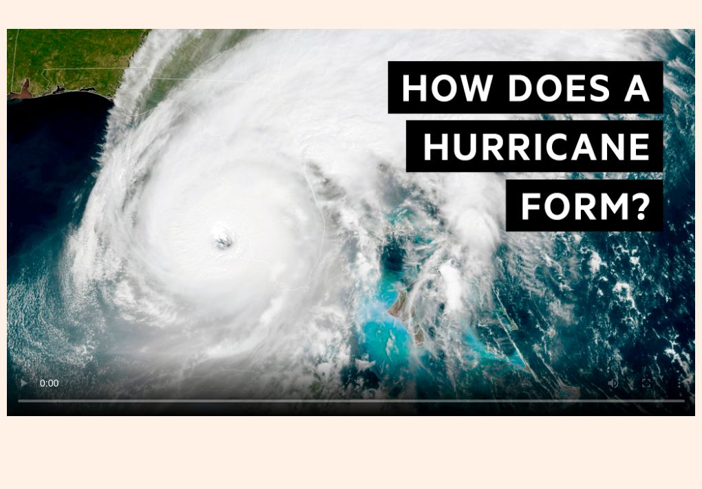
Hurricane animation explainer by Steven Bernard, sound design by Tom Hannen
‘How to read a hurricane map’ by Steven Bernard here
Climate Capital

Where climate change meets business, markets and politics. Explore the FT’s coverage here.
Are you curious about the FT’s environmental sustainability commitments? Find out more about our science-based targets here

Comments