Four of Hong Kong’s most rewarding long-distance runs
Roula Khalaf, Editor of the FT, selects her favourite stories in this weekly newsletter.
This article is part of a guide to Hong Kong from FT Globetrotter
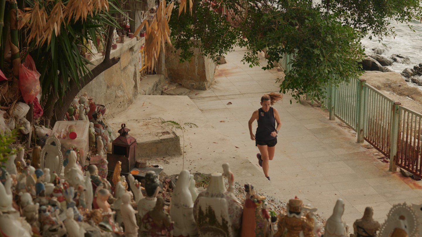
Two factors make running in Hong Kong a demanding challenge: it’s very hot and very hilly. I hadn’t fully appreciated this before moving here two years ago, dazzled instead by the photographs of the harbour and colourful skyscrapers. Coming from London, I was used to going out for long runs on the weekend. I loved exploring the UK capital by foot, especially as it was just waking up: brides being photographed in front of Tower Bridge; partygoers stumbling out of the after-hour clubs in Bermondsey; the tang of onions frying as food was prepared in Borough Market.
When I arrived in Hong Kong, I hoped to discover my new home the same way: on my runs. But with crowded city streets and short waterfront promenades, I soon learnt that running long distances here meant going up and down steep hills.
The transition from London morning jogs to distance runs on Hong Kong’s trails has not been entirely smooth. I’ve found myself taking shelter from the sweltering summer sun under a lone tree on a red dirt trail. I waded through a torrent after the rains flooded a path where a bright green snake swam by, its red forked tongue darting. And I once ended up in the doctor’s office having an MRI scan on my overworked knee.
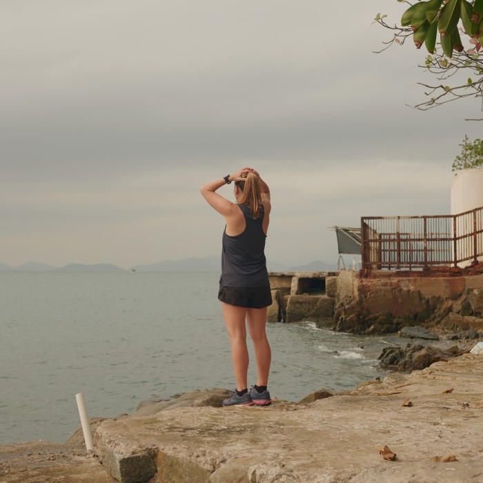
But the astounding beauty of Hong Kong, the buzz of learning to run on trails in 35C+ heat and 90 per cent humidity and the pleasure of biting into a frozen pineapple slice at the end of it all have won me over. I love running in Hong Kong. (Over the past year, I’ve slowly dipped my toe into trail running too — my heart is now set on completing a 50km trail race.)
I found my bearings by first working to get used to the heat and later tackling elevation. With the notable exceptions of Bowen Road and a loop around Victoria Peak, the waterfront promenades are the place to go to find flat routes in Hong Kong. Tolo Harbour in the New Territories is the longest I’ve found. There are also many running tracks in Hong Kong. Happy Valley’s 1.4km racetrack, for instance, is an oasis among Hong Kong’s high rises. When comfortable with flat ground, it’s time to tackle the heights.
Four major trails cross Hong Kong, each carved into a variety of runnable sections. The 50km Hong Kong Trail winds across the island. Starting at the south of Hong Kong Island and running to the northern New Territories is the 78km Wilson Trail. The MacLehose Trail starts in Sai Kung Country Park and snakes westwards 100km through the New Territories. Finally, the 70km Lantau Trail loops around Lantau Island and takes in some serious hills. There are also many well-maintained trails throughout Hong Kong’s 24 country parks.
Routes
Not all 20km runs in Hong Kong are made equal: the difference of course are the hills. Below are a few of my favourite long runs with increasing elevation, for the aspiring distance trail-runner.
I’ve included times for reference, as a relative measure of difficulty. They’re based on my moving times from recent runs. If you plan to follow these routes, don’t forget to adjust for your pace, allow extra time for water breaks — and stop to take a few snaps along the way.
Tolo Harbour
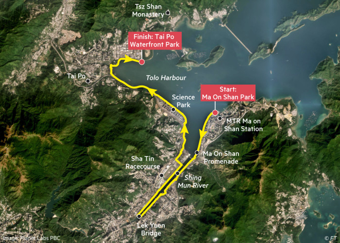
Distance: 21.5km
Elevation gain: Flat
Time: 1hr 45 mins
Starting point: Ma On Shan Park, near the Ma On Shan MTR station
Finishing point: Tai Po Waterfront Park
FYI: The sunrise along this route is lovely. There’s not much shade on the paths, so don’t forget sunscreen and lots of water
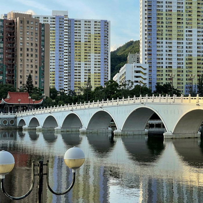
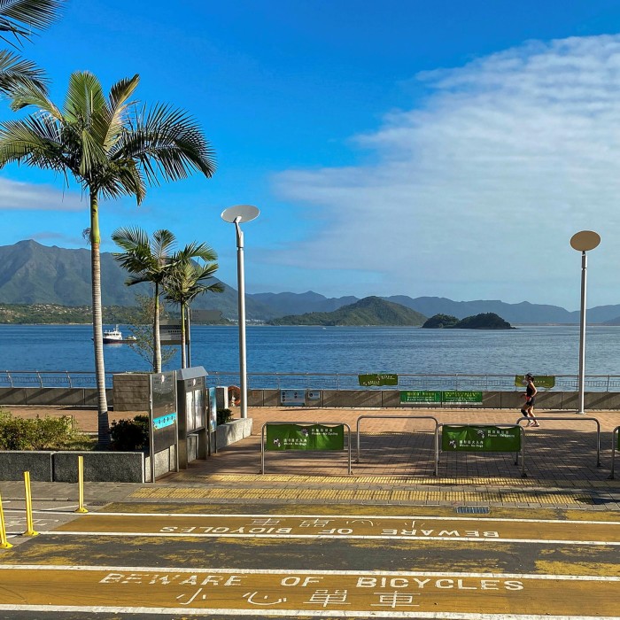
The promenades around Tolo Harbour and the banks of the Shing Mun river make up the longest flat running route I’ve found in Hong Kong — a welcome break from the hills or laps around a track. While this route is a tad boring, it’s a good ice-breaking long-distance run. I love watching the competitive rowers practising along the river, the wakeboarders in Tolo Harbour and the fishermen near Tai Po.
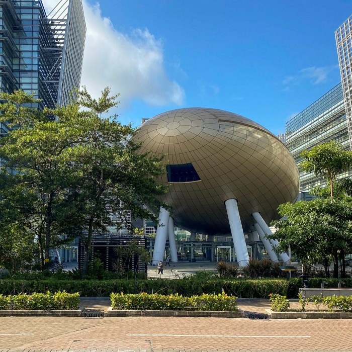
The paths, spread over more than 20km, are very well maintained and used by serious athletes, families with toddlers and everyone in between. Starting in Ma On Shan Park, the Ma On Shan Promenade follows the eastern side of Tolo Harbour for about 2.5km. The waterfront paths continue for about 5km to the Lek Yuen pedestrian bridge. Cross the river and return past Sha Tin racecourse to Tolo Harbour. The route then passes the Science Park with its unmissable “Golden Egg”. Here there are plenty of restaurants and cafés to refuel.
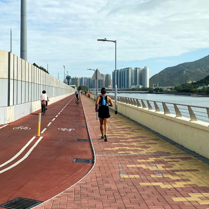
Continue for 5km along Tolo Harbour, catching sight of the 76m-tall Guan Yin statue at Tsz Shan Buddhist Monastery in the distance. End with a frozen pineapple slice or ice cream from one of the kiosks at the Tai Po Waterfront Park.
Loop around western Hong Kong Island
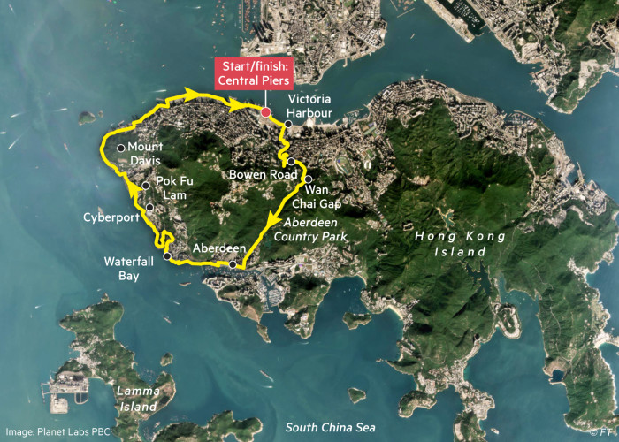
Distance: 22km
Elevation gain: 500m
Time: 2hrs 30 mins
Starting/finishing points: Anywhere on the loop, but I choose the Central Piers
FYI: There are a few twists and turns on this route. Download the GPS map as a guide but be prepared to make a few minor changes on the way.

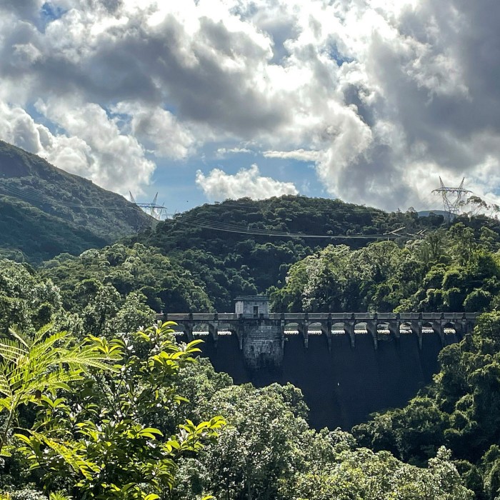
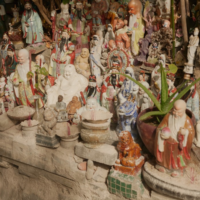
This is one of the best runs for exploring Hong Kong. It takes in a few of the classic routes, from sections of the Victoria Harbour promenade and Bowen Road to trails in the Aberdeen Country Park. At other points it gives you glimpses of life in the Aberdeen and Pok Fu Lam districts. And surprises like the “Sky Full of Gods and Buddhas”.
Most of the elevation gain and loss comes in the first third of the route. Crossing Hong Kong Island from north to south, it climbs up through central Hong Kong to Bowen Road and then up Wan Chai Gap to the entrance of Aberdeen Country Park. The descent is gorgeous, with views over the country park and reservoir out past Lamma Island towards the South China Sea. From Aberdeen the route follows the shoreline, separating only to skirt around Waterfall Bay. Pass through Cyberport, Pok Fu Lam and around Mount Davis to finish along the bustling Victoria Harbour promenade.
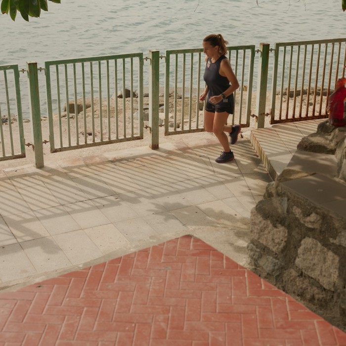
After I complete this run, the freshly squeezed orange juice from the vending machine at Central Pier Three (where I start and finish) tastes divine.
Sai Kung to the beaches of Tai Long Wan
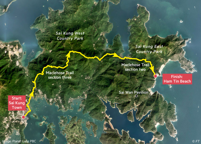
Distance: 20km
Elevation gain: 900m
Time: 3hrs
Starting point: Sai Kung town
Finishing point: Ham Tin Beach (and catch a sampan back to Sai Kung)
FYI: The sampan schedule is seasonal and weather dependent. Check in advance that the boats will be running or be prepared for an extra 5km getting back to the Sai Kung Country Park roads via the Sai Wan Pavilion
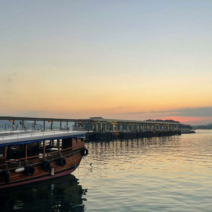
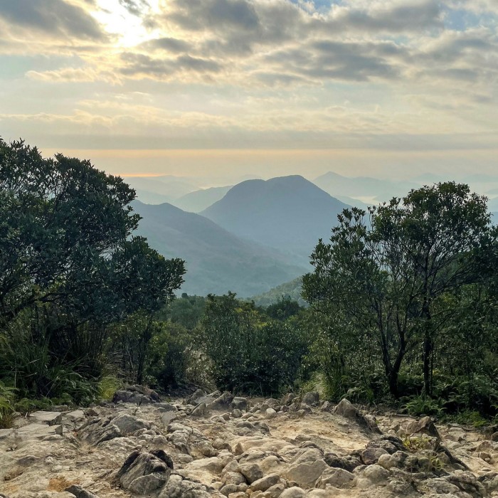
The MacLehose Trail has captured my heart, so it was hard to decide which sections to include in this list. I’ve settled on a route that makes a terrific day out. Choose a sunny day, bring a swimsuit in your pack, and enjoy the finish line as much as the run itself.
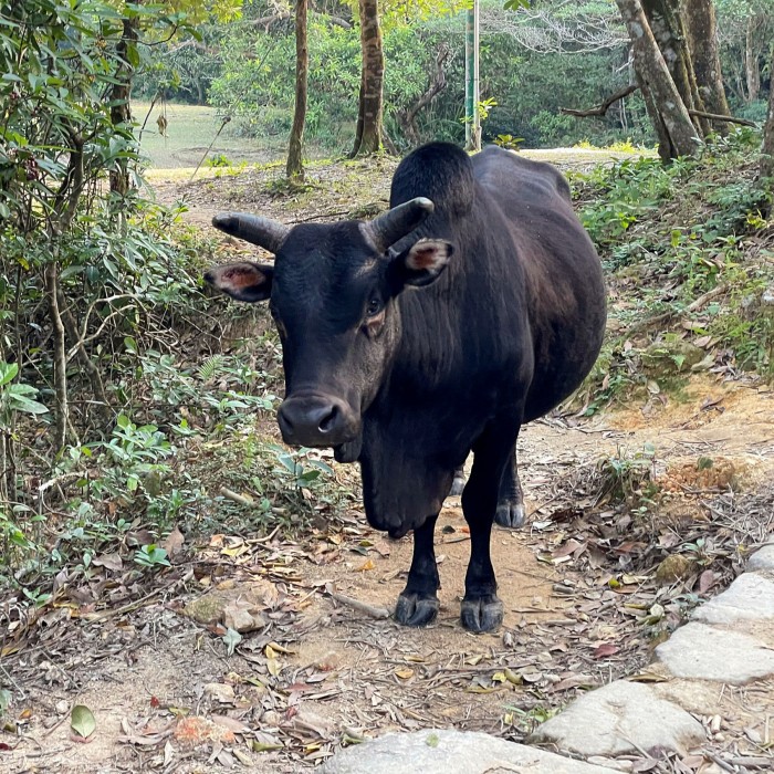
Starting in Sai Kung, this route joins the MacLehose and includes Section Three and half of Section Two. On weekends the paths can get quite busy, but on a weekday morning you might find your only company are the cattle wandering through the country park. With unobscured views of mountains and sea, it’s easy to forget you’re in Hong Kong.
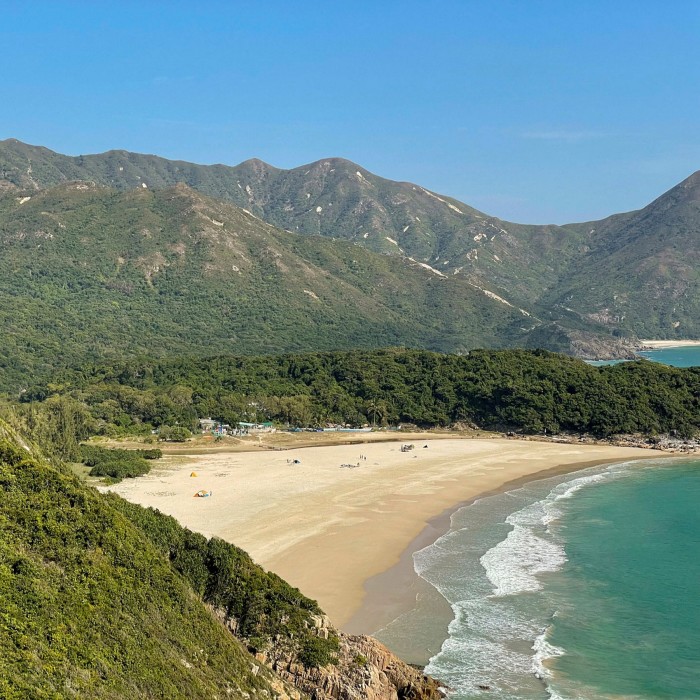
Finishing at Ham Tin is a delight, with its sprawling beach and two small restaurants serving traditional meals, cold drinks and ice cream.
Lantau Island: Mui Wo to Tung Chung via Sunset and Lantau Peaks
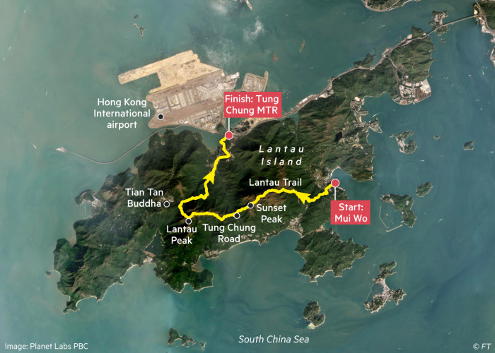
Distance: 20km
Elevation: 1,500m
Time: 4hrs 15 mins
Starting point: Mui Wo, which can be reached by ferry from Central Pier Six
Finishing point: Tung Chung MTR
FYI: Sections of this route, especially the descent from Sunset Peak and the climb and descent of Lantau Peak, are very steep
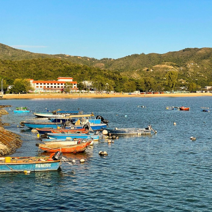
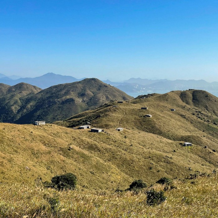
Lantau Island is perfect for hill training, and this route is no exception. Scaling both Sunset Peak and Lantau Peak, most of the 1,500m of climb are in the first 12km. Oh, the stairs! As a reward for your effort, the views are sensational.
At the start in Mui Wo there are many shops and restaurants to stock up on refreshments. I’d definitely recommend bringing snacks and, more importantly, lots of water.
This route begins by weaving upwards along the Lantau Trail. Take in sweeping views of the small islands dotting the South China Sea and then north over Hong Kong airport towards Kowloon. The trail then reaches the small, deserted stone cottages and the silver-grass fields of Sunset Peak.
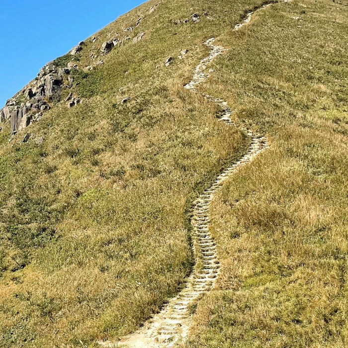
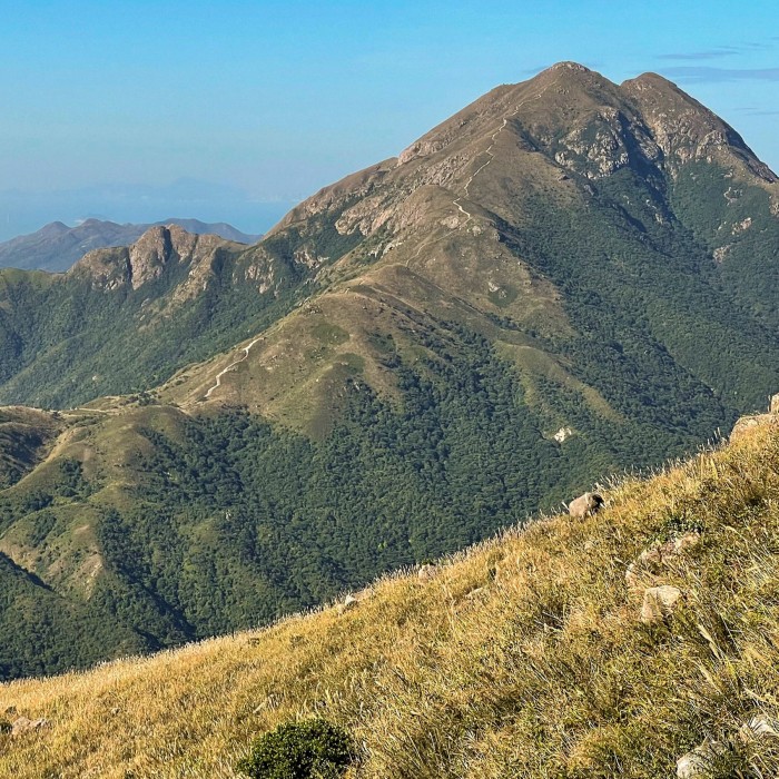
Descending sharply from Sunset Peak, the trail crosses Tung Chung Road and the climb up to the summit of Lantau Peak begins. Stone steps have been built into the trail and stand out white against the green of the mountain. From the top of Lantau Peak the panoramic views are breathtaking.
One last steep descent, this one towards the Tian Tan Buddha, and the path mercifully morphs into a paved trail with a relatively gentle decline leading down the final 7km to Tung Chung.
How to acclimatise to running in Hong Kong
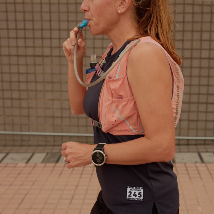
Hydration Carry more water than you think you need. On particularly hot days, I fill my hydration bladder the night before and pop it into the freezer. The big ice cube on my back feels like heaven as it melts during the run. I’ve also become an ardent believer in the magic of electrolyte tablets, after once climbing the steps to Lantau Peak. Drenched with sweat, I felt weak and dizzy, but after an electrolyte tablet, water and a five-minute break, I was up and running again.
Chaffing I use Body Glide as my anti-rubbing balm of choice. And Hong Kong trail running calls for a very liberal application.
Core work The best help I’ve found for my knees is a strong(er) core. I’ve started attending a regular Pilates class (and less regularly doing core work at home).
Food On longer runs in the hills, I need plenty of energy to boost my flagging reserves. Never one for energy bars and gels, I recommend salted nuts and dried fruit — in other words, good old-fashioned trail mix.
Trail shoes These are essential for the hard trails of Hong Kong. There are a few specialist shops around — Gone Running in Wan Chai helped me find the perfect pair.
Routes Elevation and distance are hard to measure precisely in Hong Kong. The GPS jumps, the trail on a map might not exist in real life and it can be easy to take a wrong turn. I try to stick to tried-and-tested routes when I’m on my own and explore new ones with friends.
Weather Always check a weather app before heading out for a run. Hot-weather alerts, coloured rain-warning systems and monsoon signals are all managed by the Hong Kong Observatory.
And finally . . . I also carry in a little waterproof bag (to protect from both sweat and rain) my phone, an Octopus transit card, a bit of cash, sunscreen, and, in these Covid times, a mask.
Christy Barlow is the owner of Run That City
Maps by Liz Faunce
Tell us about your favourite long-distance Hong Kong runs in the comments below
Follow FT Globetrotter on Instagram at @FTGlobetrotter


Comments